
File:Zala location map.PNG
Size of this preview: 576 × 600 pixels. Other resolutions: 230 × 240 pixels | 461 × 480 pixels | 738 × 768 pixels | 983 × 1,024 pixels | 2,471 × 2,573 pixels.
Original file (2,471 × 2,573 pixels, file size: 585 KB, MIME type: image/png)
| This is a file from the Wikimedia Commons. Information from its description page there is shown below. Commons is a freely licensed media file repository. You can help. |
Summary
| Description |
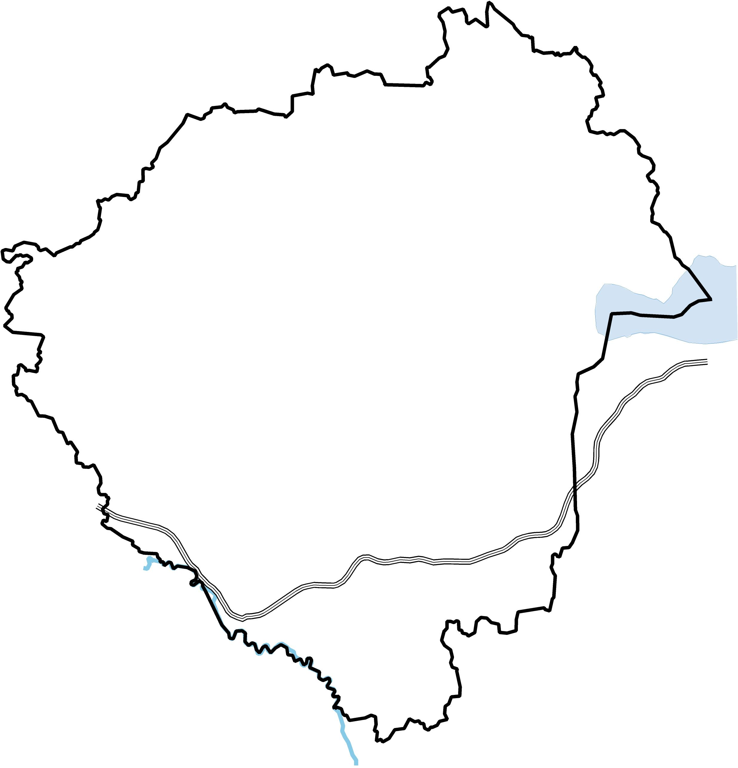
English: Location map of Zala county in Hungary
Magyar: Zala megye vaktérképe |
| Date | |
| Source | Own work |
| Author | Texaner |
Licensing
I, the copyright holder of this work, hereby publish it under the following licenses:
This file is licensed under the Creative Commons Attribution-Share Alike 3.0 Unported license.
- You are free:
- to share – to copy, distribute and transmit the work
- to remix – to adapt the work
- Under the following conditions:
- attribution – You must give appropriate credit, provide a link to the license, and indicate if changes were made. You may do so in any reasonable manner, but not in any way that suggests the licensor endorses you or your use.
- share alike – If you remix, transform, or build upon the material, you must distribute your contributions under the same or compatible license as the original.

|
Permission is granted to copy, distribute and/or modify this document under the terms of the GNU Free Documentation License, Version 1.2 or any later version published by the Free Software Foundation; with no Invariant Sections, no Front-Cover Texts, and no Back-Cover Texts. A copy of the license is included in the section entitled GNU Free Documentation License. |
You may select the license of your choice.
File history
Click on a date/time to view the file as it appeared at that time.
| Date/Time | Thumbnail | Dimensions | User | Comment | |
|---|---|---|---|---|---|
| current | 09:04, 4 February 2010 | | 2,471 × 2,573 (585 KB) | Texaner | {{Information |Description={{en|1=Location map of Zala county in Hungary}} {{hu|1=Zala megye vaktérképe}} |Source={{own}} |Author=Texaner |Date=2010-02-04 |Permission= |other_versions= }} Category:Locator maps of Hungary |
File usage
The following 6 pages use this file:
Global file usage
The following other wikis use this file:
- Usage on eo.wikipedia.org
- Zala
- Zalaegerszeg
- Nagykanizsa
- Keszthely
- Hévíz (banlago)
- Hévíz (urbo)
- Lenti
- Letenye
- Pacsa
- Kerkaszentkirály
- Balatongyörök
- Várvölgy
- Petrikeresztúr
- Zebecke
- Sinagogo en Keszthely
- Distrikto Zalaegerszeg
- Distrikto Nagykanizsa
- Distrikto Lenti
- Distrikto Letenye
- Distrikto Zalaszentgrót
- Distrikto Keszthely
- Ŝablono:Situo sur mapo Hungario Zala
- Kastelo de Letenye
- Kastelo de Keszthely
- Belvedero de Zalaegerszeg
- Usage on es.wikipedia.org
- Usage on hu.wikipedia.org
View more global usage of this file.